GOHUNT / Hunt Research & Maps
goHUNT LLC
Downloads
100,000+
Version
Latest
Click to download now, finish the installation quickly, and directly unlock the all-round experience
Screenshots
Click to download now, finish the installation quickly, and directly unlock the all-round experience
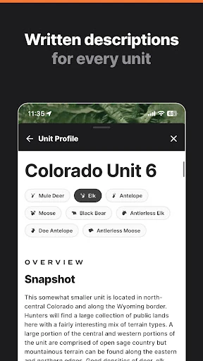
GOHUNT / Hunt Research & Maps combines hunting research with navigation tools for people planning big-game hunts and scouting unfamiliar ground. The app helps users compare hunting units, review draw information, study terrain, and navigate public and private land boundaries from one place. It is designed for both early trip planning and use in the field.
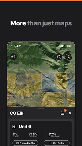
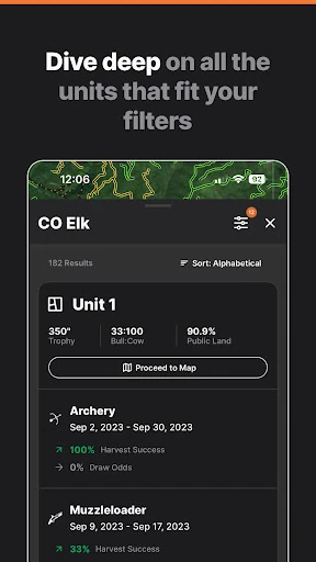
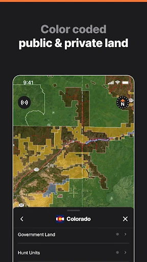
The research side focuses on unit selection and application decisions. Users can filter areas using historical draw odds, harvest results, and other unit details to narrow down possible opportunities. Land ownership layers show the difference between public and private property, while map data can be used to examine access and boundaries across the United States.
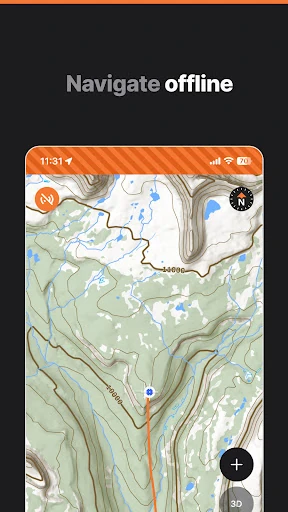
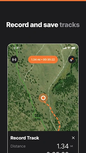
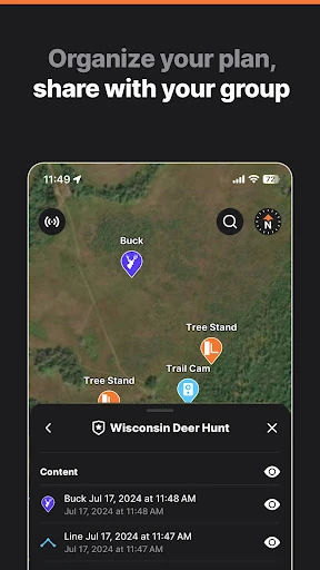
GOHUNT includes interactive terrain mapping for pre-hunt scouting and route planning. Offline map support is useful in areas where mobile coverage is limited, allowing GPS-based navigation without relying on a live connection. Waypoints, tracks, and other planning details can also be prepared on desktop and synced to the mobile app for field reference. Some advanced tools, including terrain analysis and historical imagery, may be limited to the desktop experience.
GOHUNT / Hunt Research & Maps is published by goHUNT LLC in the Maps & Navigation category. It has more than 100,000 installs and a rating of about 3.7 stars from 1,304 reviews. The app suits hunters who want research data, property information, and backcountry mapping together rather than relying on separate navigation and planning services.